Trail Ridge Road Webcam & Live Conditions 2025
Stay informed about Trail Ridge Road conditions with real-time webcams, current weather data, and live road status updates. These essential resources help you plan safe travels and optimal timing for your Rocky Mountain National Park adventure, ensuring you experience Trail Ridge Road under the best possible conditions.
📹 Quick Access Live Cameras
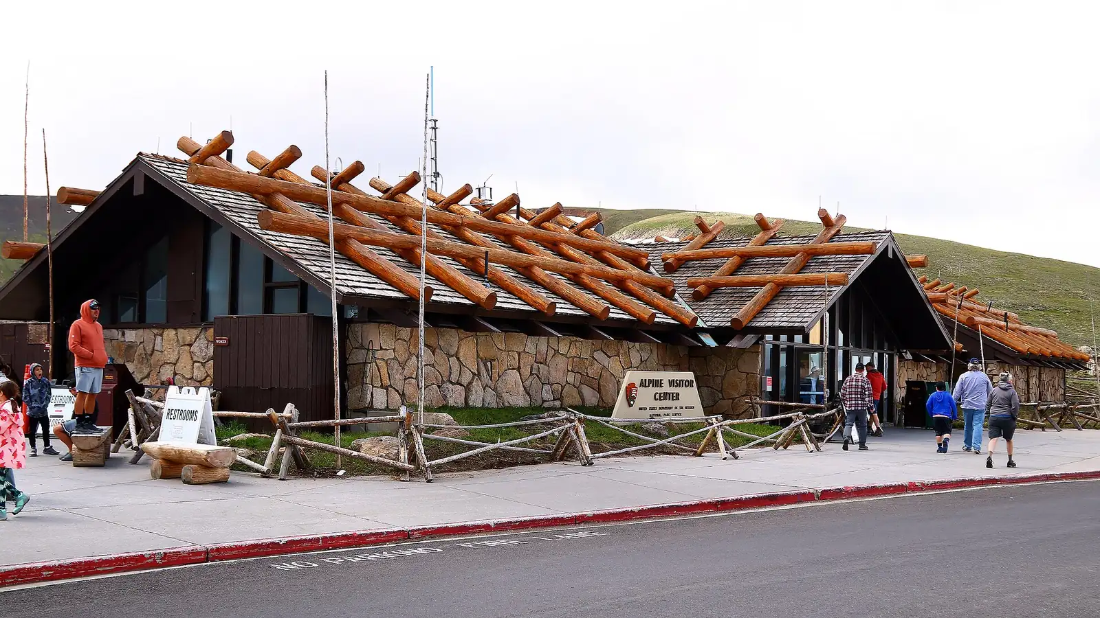
- Alpine Visitor Center: 11,796 feet elevation view
- Kawuneeche Valley: Western park entrance conditions
- Fall River Entrance: Eastern approach weather
- Continental Divide: High-altitude conditions at Milner Pass
Current Road Status & Conditions
🚨 Real-Time Status Information
Current Status (2025 Season): OPEN - Estes Park to Grand Lake
Opening Date: May 30, 2025 (latest opening in recent history)
Timed Entry Required: 9 AM - 2 PM daily through October 13
Status Hotline: (970) 586-1222 (updated when conditions change)
Emergency Contact: 911 or (970) 586-1399
Official National Park Service Webcams
Rocky Mountain National Park maintains several strategically positioned webcams that provide real-time views of Trail Ridge Road conditions, weather patterns, and visibility. These cameras are updated every few minutes during daylight hours and provide essential information for trip planning.
Alpine Visitor Center Webcam
Located at 11,796 feet elevation, the Alpine Visitor Center webcam provides crucial views of conditions near Trail Ridge Road's highest accessible point. This camera shows real-time weather, visibility, and the condition of the road's most challenging high-altitude section.
📍 Alpine Visitor Center Camera Details
Location: Fall River Pass, elevation 11,796 feet
View: Western approach to Trail Ridge Road's highest section
Updates: Every 15 minutes during daylight hours
Best Use: Assessing high-altitude weather and road conditions
URL: NPS Rocky Mountain Webcams
Kawuneeche Valley Webcam
This western entrance webcam shows conditions at the Colorado River Trailhead and provides views of the approach to Trail Ridge Road from Grand Lake. The camera helps assess weather patterns moving across the park from the west.
Fall River Entrance Webcam
Positioned near the Fall River entrance on the park's eastern side, this camera shows conditions for visitors approaching Trail Ridge Road from Estes Park. It provides essential information about weather patterns and visibility in the lower elevation areas.
Longs Peak Webcam
While not directly on Trail Ridge Road, the Longs Peak webcam provides valuable information about overall park weather conditions and can help predict weather patterns that may affect Trail Ridge Road driving conditions.
Colorado Department of Transportation Cameras
CDOT maintains additional cameras along US Highway 34 that complement the National Park Service webcams, providing comprehensive coverage of conditions both inside and outside the park boundaries.
📡 CDOT Camera Network
- Estes Park Approach: US 34 conditions entering the park
- Grand Lake Approach: US 34 western approach conditions
- Granby Area: Weather patterns affecting western access
- Loveland Area: Eastern weather conditions and visibility
Live Weather Monitoring
Trail Ridge Road's extreme elevation creates rapidly changing weather conditions that require constant monitoring. Official weather stations provide real-time data crucial for safe travel planning.
Weather Station Network
🌡️ Real-Time Weather Stations
- Alpine Station (12,149 feet): Temperature, wind, precipitation near highest point
- Chapin Pass (11,200 feet): High-altitude conditions and wind data
- Longs Peak (9,400 feet): Eastern park weather patterns
- Grand Lake (8,369 feet): Western approach conditions
- Estes Park (7,522 feet): Eastern approach weather
Critical Weather Parameters
Temperature Gradients: Expect 15-20°F temperature drops between Estes Park and Trail Ridge Road's highest point. Summer temperatures at the summit typically range from 30-65°F.
Wind Conditions: Winds above treeline regularly exceed 50 mph, with gusts potentially reaching 100+ mph during storms. High-profile vehicles should monitor wind forecasts carefully.
Precipitation: Afternoon thunderstorms are common during summer months, typically developing between 11 AM and 5 PM above treeline. Lightning poses serious risks at high elevation.
Seasonal Condition Patterns
Summer Operations (June-September)
During peak season, webcams show typical daily weather patterns including morning clear conditions, afternoon cloud development, and potential thunderstorms. Optimal driving conditions usually occur before 11 AM and after 5 PM.
Shoulder Season Challenges (May, October)
Webcams during shoulder seasons reveal rapidly changing conditions with potential snow, ice, and limited visibility. These periods require especially careful monitoring of live conditions before departure.
Winter Monitoring (November-April)
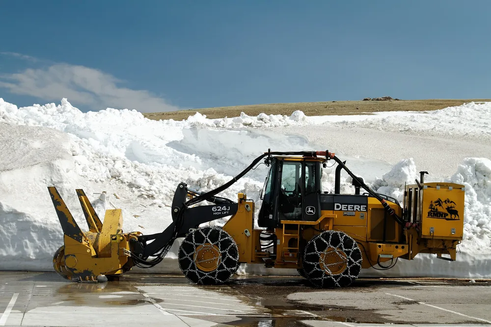
Although Trail Ridge Road closes for winter, webcams continue operating and show the extreme conditions that necessitate seasonal closure. Snow depths can exceed 30 feet at high elevations.
⚠️ Interpreting Webcam Conditions
- Clear Views: Generally safe conditions, but check wind forecasts
- Cloudy/Overcast: Potential for weather changes, monitor hourly updates
- Limited Visibility: Consider postponing; conditions likely challenging
- Snow/Ice Visible: High-altitude winter conditions possible even in summer
Mobile Access and Apps
Several mobile applications and mobile-optimized websites provide access to Trail Ridge Road webcams and conditions for travelers without laptop access.
Recommended Mobile Resources
- NPS Rocky Mountain App: Official park app with webcam access
- CDOT Mobile: Colorado road conditions and camera access
- Weather Underground: Detailed local weather with webcam integration
- Mountain-Forecast.com: Specialized high-altitude weather predictions
Trip Planning Using Live Conditions
Pre-Departure Checklist
📋 Essential Condition Checks
- Road Status: Call (970) 586-1222 for current Trail Ridge Road status
- Weather Forecast: Check 3-day forecast for high-altitude conditions
- Webcam Review: Examine all available cameras for current visibility
- Wind Conditions: Verify wind speeds if driving large vehicles
- Timed Entry: Confirm reservation requirements and availability
Optimal Viewing Times
Early Morning (6-9 AM): Typically clearest conditions, minimal wind, best visibility
Late Afternoon (5-7 PM): Post-storm clearing, excellent lighting for photography
Avoid (11 AM-4 PM): Peak thunderstorm period, highest winds, reduced visibility
Emergency Preparedness
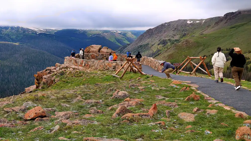
Live webcam monitoring helps identify potentially dangerous conditions, but travelers should always be prepared for rapid weather changes that can occur between webcam updates.
Emergency Equipment Recommendations
- Communication: Satellite messenger or two-way radio (limited cell service)
- Weather Protection: Warm clothing, rain gear, emergency blankets
- Vehicle Emergency Kit: Tire chains, shovel, emergency food and water
- Navigation: GPS device with offline maps, paper backup maps
🚨 Emergency Response Procedures
- Severe Weather: Descend below treeline immediately, seek hard shelter
- Vehicle Breakdown: Move off roadway, use emergency flashers, call for help
- Medical Emergency: Call 911 or (970) 586-1399, provide exact location
- Road Closure: Do not attempt to pass barriers, turn around safely
Historical Condition Patterns
Analyzing webcam and weather data from previous years helps predict likely conditions and optimal travel times. Trail Ridge Road typically experiences the most stable conditions during July and August, with increasing variability in shoulder seasons.
Monthly Condition Summaries
June: Variable conditions, potential snow at highest elevations, afternoon storms common
July-August: Most stable period, predictable afternoon thunderstorm patterns
September: Excellent conditions early month, increasing weather variability later
October: Beautiful fall conditions possible, but early winter storms likely
Advanced Weather Resources
Professional meteorological resources provide detailed forecasting specifically for high-altitude mountain environments like Trail Ridge Road.
Specialized Forecasting Services
- Mountain-Forecast.com: Elevation-specific forecasts for each 1,000-foot level
- Weather.gov Point Forecasts: NOAA forecasts for specific GPS coordinates
- Avalanche.org: Winter and spring backcountry conditions
- Colorado Avalanche Information Center: High-altitude weather analysis
Real-time webcam monitoring and live condition checking represent essential components of safe Trail Ridge Road travel. By utilizing these resources effectively, visitors can maximize their chances of experiencing optimal conditions while minimizing exposure to potentially dangerous mountain weather. Remember that conditions can change rapidly at high altitude, and webcam information should always be combined with current weather forecasts and official park communications for the safest possible mountain experience.