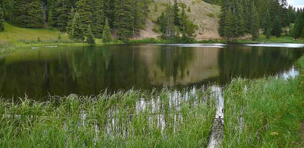
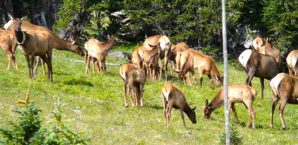
cycling the road
The trail was deliberately made to provide as close as possible to a constant include with a grade of about 5% on average and no more than 7% for some stretches, or around 250 feet climb per mile which makes it much more gentle than the nearby Fall River Road which it was designed to replace.
Even after the road is officially closed for vehicle traffic it may remain open to pedestrians and cyclists for some time depending upon weather conditions. Generally you will be able to drive to Rainbow Curve.
As the distance is over 40 miles it will take a good 5 to 6 hours of cycling, and although there are rest stops along the way, the ride should not be undertaken by anyone not experienced with cycling these distances, in cold climate at high altitude.
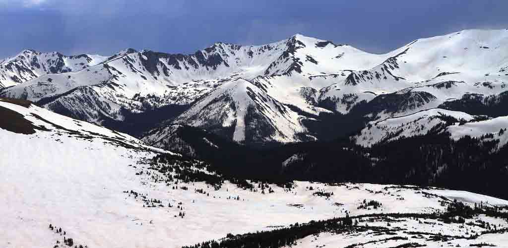
Cyclists not used to high altitude biking should be aware that performance, measured in "time to exhaustion" drops by as much as a quarter when rising over 7000 feet, and most of the Trail Ridge Road is over 10,000.
Entrance Fees:
$10 per person for those who are walking or on bikes